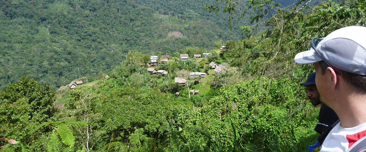
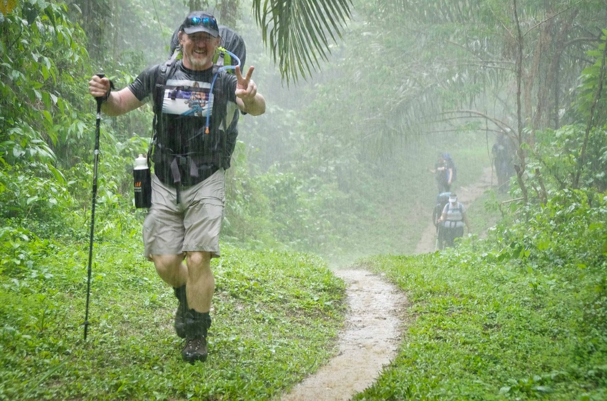
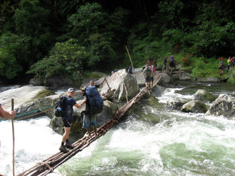
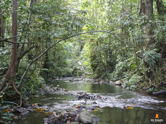
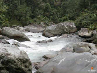
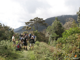
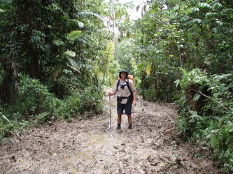
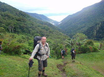
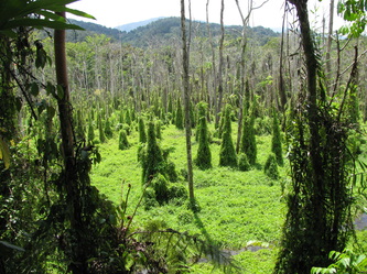
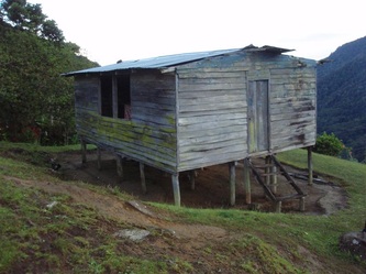
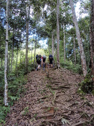
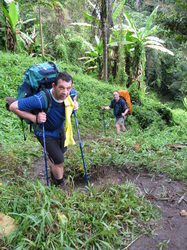
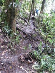
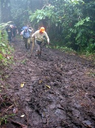
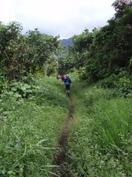
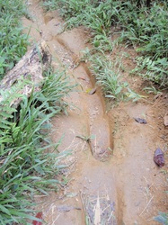
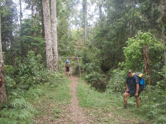
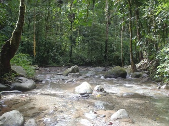
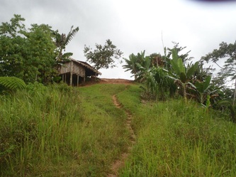
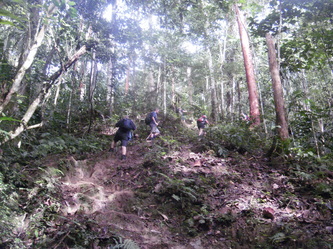
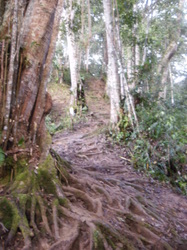
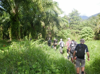
The Kokoda Track is a single file, very rough, tropical jungle path that connects villages over the Owen Stanley Range. It crosses rivers and creeks as it crosses over 13 ranges, covered in mud and thick jungle. The vegetation changes along the way and so does the track, but one thing remains constant, it is rough, narrow and requires concentration to avoid slips, trips and falls.
The video below depicts sections of the track so you have some idea of what the conditions along the track will be like. When it either rains or is considerably dryer, the track conditions will adjust.
The video below depicts sections of the track so you have some idea of what the conditions along the track will be like. When it either rains or is considerably dryer, the track conditions will adjust.
|
When trekking along the Kokoda Track the conditions could be described as follows:
|
Video with examples of the track conditions whilst trekking
|
Weather on the Track
|
No Roads Expeditions leads treks throughout the year from March to December each year. The weather conditions will vary between expeditions but you should plan for, and expect rain and mud at any time of the year. We don't trek in the wet season between late December and March due to the heavy rain, swollen rivers and extremely difficult conditions.
PNG has a monsoonal climate with high temperatures (day: 24 to 32, night: 18 to 2 degrees Celsius) and very high humidity (typically 80-95%). The average annual rainfall for PNG is 2,500mm to 3,500mm and when it rains it is typically very heavy with large droplets. It is best to plan your trek to suit your needs and not concern yourself about the weather. On average each expedition will have some days and nights with rain, baking hot sun and humid conditions. This is what makes the Kokoda trekking experience an adventure! |
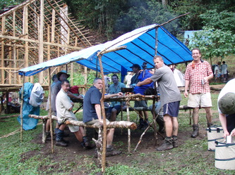
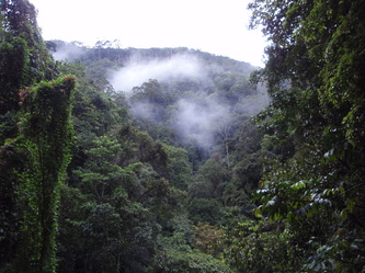
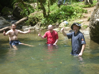
Kokoda Track Conditions in Photos
More photos can be found in the photo gallery and we have some videos of life on the Track also.
