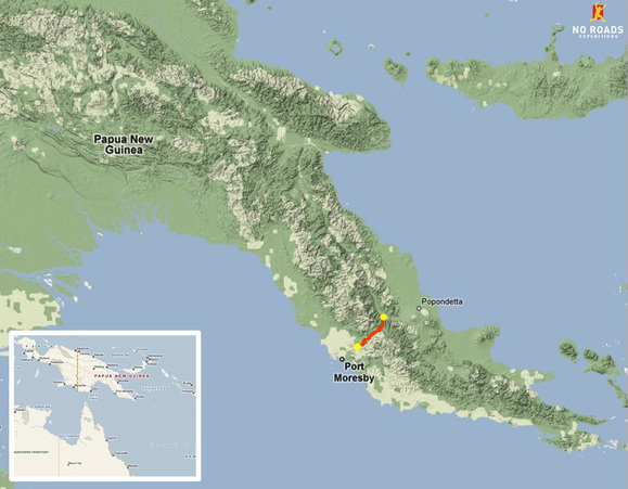
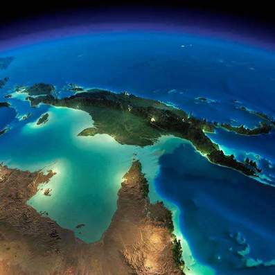
The Kokoda Track is located in the Owen Stanley Range in Papua New Guinea (PNG). PNG is located north of Australia and east of Indonesia.
Where does the Kokoda Track go?
Using Google Maps No Roads Expeditions have plotted the Kokoda Track so you can follow the entire length from Owers' Corner to Kokoda Station.
Hints and Tips
- Look for the "Kokoda Track" thin path indicated on the map. It is only visible when zoomed in as it is a track, not a road.
- The white "snow like" areas on the satellite photos are only clouds. Google have not been able to get completely clear photos without clouds for the entire track yet.
Elevation Profile
This graphic depicts the various hills and valleys you will pass through over the duration of your expedition. The key villages and locations are marked for reference.
Kokoda Track "Fly Over" Animation
Watch a fly-over of the track using Google Earth from Kokoda to Owers' Corner.
Created by Justin Kibell using GPS data and Google Earth Pro
Interactive Key Locations Map
Use your mouse to interact with the Google maps tool below to zoom into the Kokoda Track and visit the key locations.


