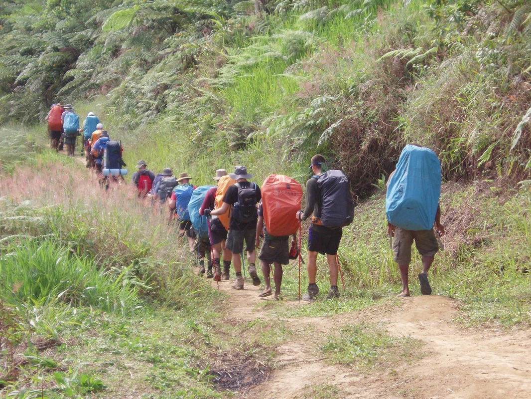
On your Kokoda expedition you will walk through many historically significant locations as part of the expedition itinerary. Your guide will point out these key locations and explain what happened during the World War II battles at the site and in the surrounding hills. It is a great idea to do some research before you leave for PNG and read up on the history of the Kokoda Track so that when you visit these locations in person you will have some understanding of their significance. Some of the key locations and sites you will see are highlighted below.
As we will be walking through the villages where communities live, and along tracks owned by the those communities, occasionally some sites are not available or accessible due to local politics or conditions. No Roads has very good relationships with the communities along the Track and these issues are rare.
As we will be walking through the villages where communities live, and along tracks owned by the those communities, occasionally some sites are not available or accessible due to local politics or conditions. No Roads has very good relationships with the communities along the Track and these issues are rare.
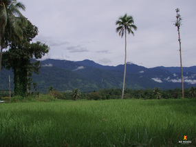 |
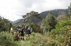
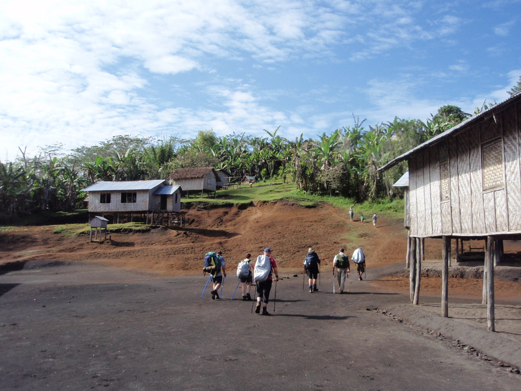
Kokoda Station & PlateauOn the plateau where the Australians defended Kokoda you will see the memorials, visit the war museum & walk on the cigar shaped battle-field that was Kokoda and meet your porter team.
|
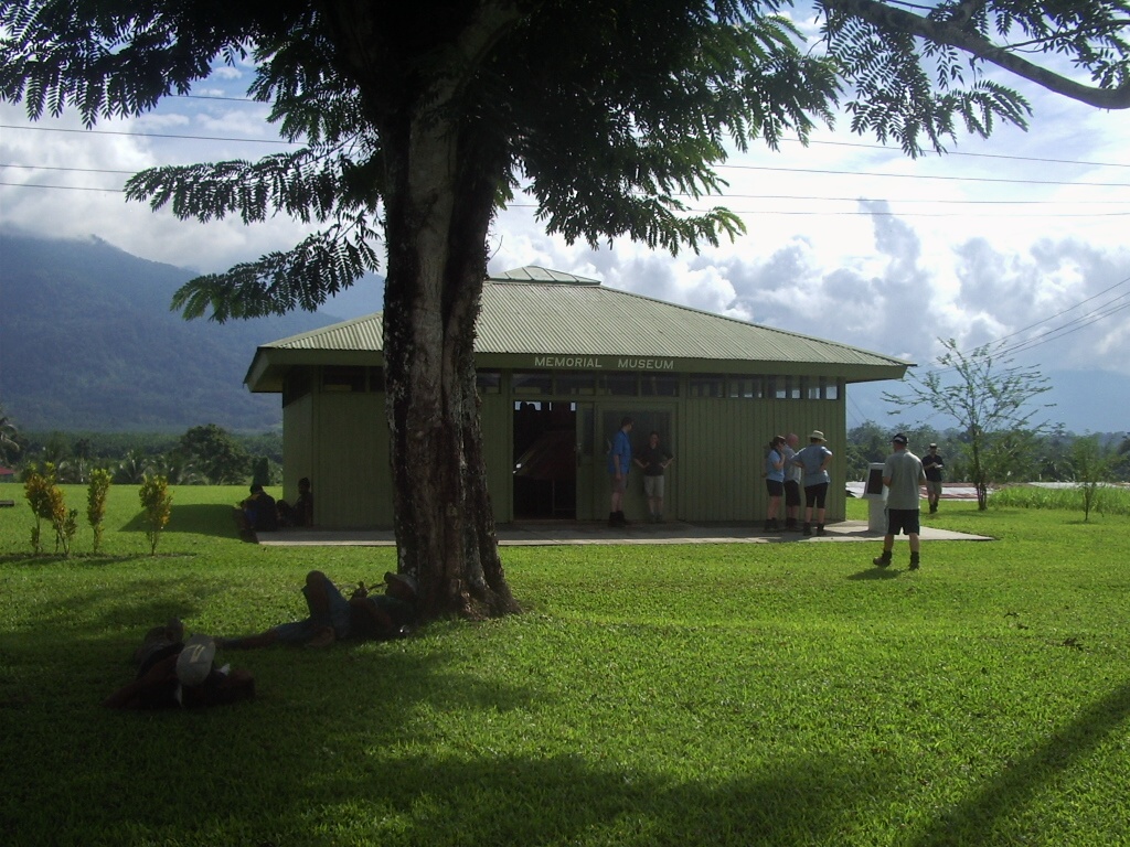 |
Kokoda MuseumThis small museum contains a wealth of information, a good collection of weapons and lots of photographs. See the location where Lt. Clnl. Owen was shot by a sniper by the Japanese.
|
 |
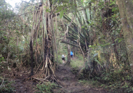
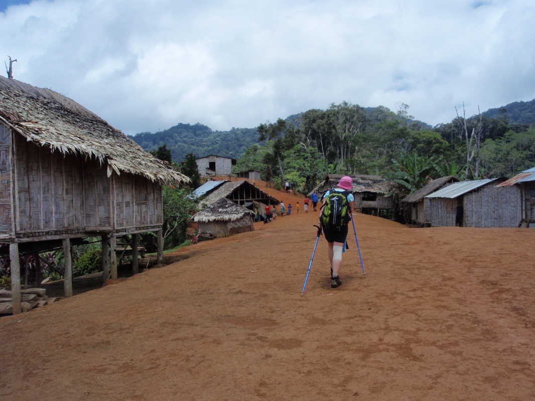
DenikiThis wartime village overlooks the valley. From Kokoda trekkers head off towards Deniki, through plantations & via the beautiful Hoi village. The last 45 mins up to Deniki is quite steep.
|
 |
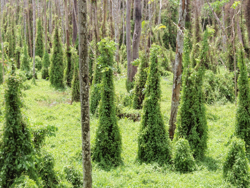
Choko Vine FieldsLarge open spaces covered in Choko Vines frequently cover the track between Deniki and the New Isurava village. These very large open areas can be quite hot in the sun but very spectacular.
|

|
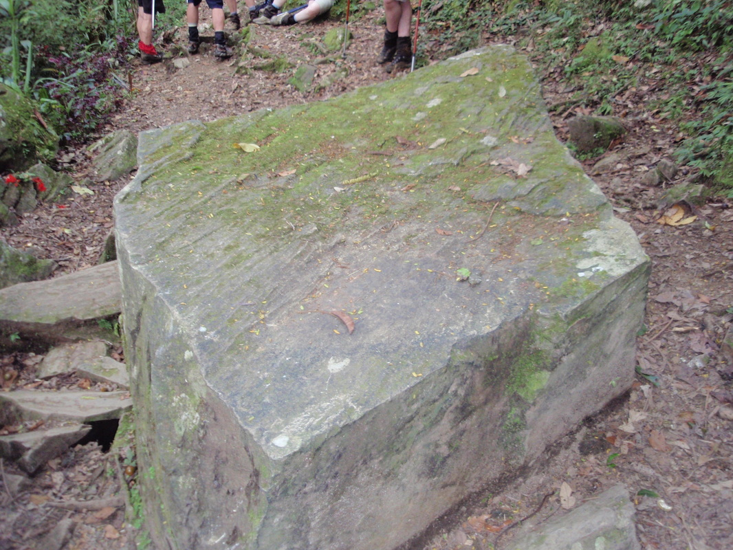
Glorious MudIt wouldn't be the Kokoda Track without some mud. Even without rain you will find mud, and with rain you will find lots more.
|
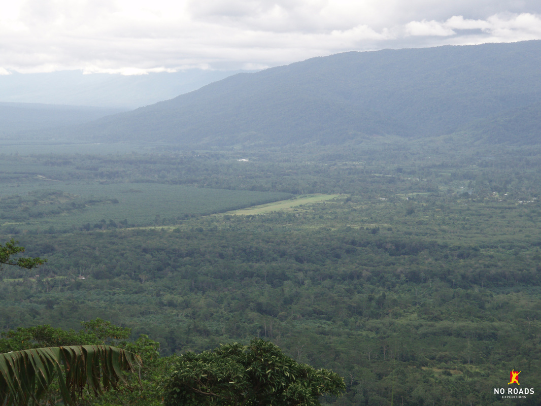 |
Views of the Yodda ValleyAs you follow the valley and the Eora Creek up to Mt. Bellamy, views back down to Kokoda are stunning and worth the effort.
|
 |
Isurava MemorialThis memorial was opened by Australian Prime Minister John Howard in August 2002 to commemorate 60 years since a ferocious four day Battle was fought here in 1942.
|
 |
Cons RockLocated a short distance from the Isurava Memorial site, this rock was the scene of amputations and close to the location where Butch Bisset died in his brothers arms.
|
 |
Alola VillageA lovely village nestled on the side of the valley where you can see across the valley towards Abuari Village. Good guest houses and a small museum with many war relics.
|
 |
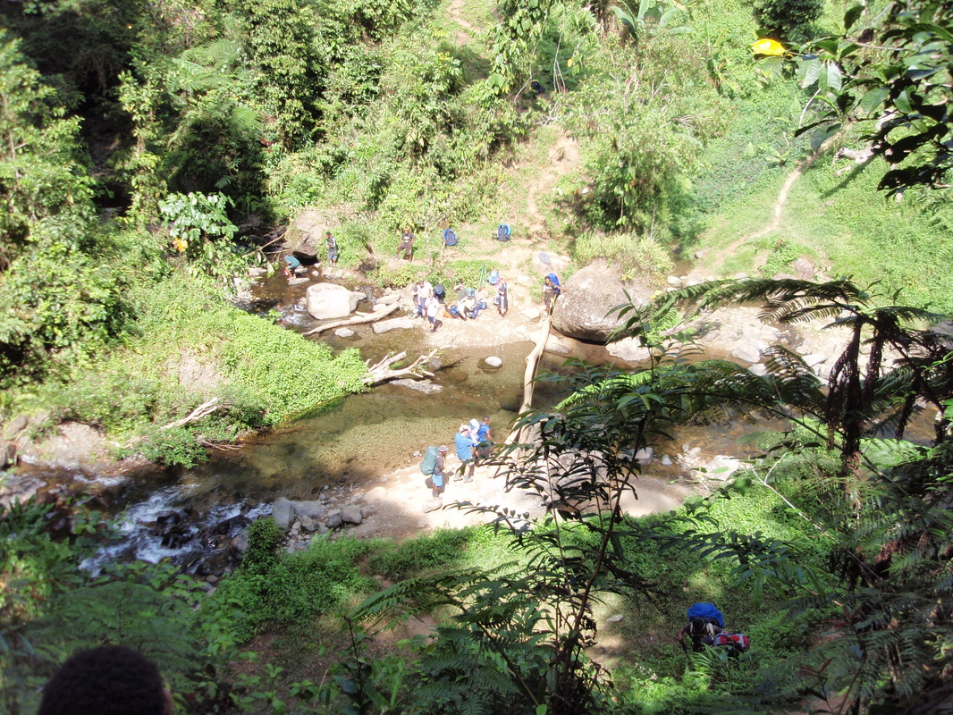
Eora CreekThe Eora Creek is spectacular. Trekkers cross the water course many times where there were many bloody battles, and visit the location of a Japanese keep with commanding views.
|
 |
Templeton's CrossingAt the base of Mount Bellamy on the Eora Creek are two small villages called Templeton's Crossing / Dump #1 (apart by 2.7km) named in honour of Cpt. Sam Templeton, B Coy 39th.
|
 |
Kokoda Gap LookoutA small open area on the Nth face of Mt. Bellamy called the Kokoda Gap lookout. Often hard to see through the thick mist, but on a clear day the view is excellent.
|
 |
Mount BellamyThe highest section of the Kokoda Track (2200m) is Mt Bellamy. It is not the highest mountain in the area but it is along the Track. Very slippery and muddy and home of the Moss Forest.
|
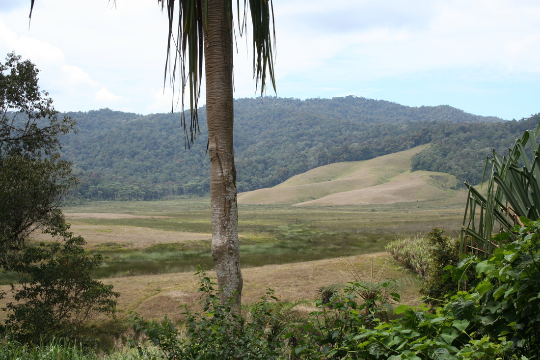 |
Myola LakesThe lakes were the site of the air supply drops during the war, the only open space suitable for this type of operation. These old volcanic craters are an amazing site bursting out of the jungle.
|
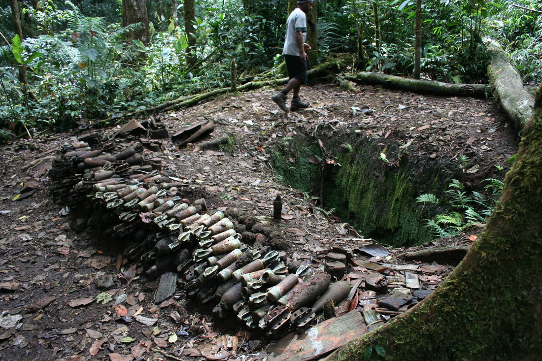 |
Weapon PitsThe Australian and Japanese soldiers dug weapon pits to provide protection during the intense fighting. Some pits still exist and you can see them along the Track, including ammo dumps.
|
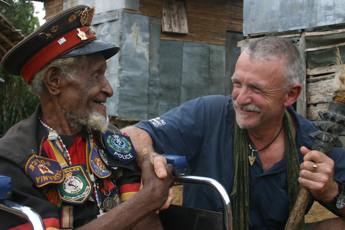 |
Fuzzy Wuzzy AngelsVery few Fuzzy Wuzzy Angels still live today. You may see some of the relatives of the villagers who assisted the Australia troops during World War II and carried our wounded and equipment.
|
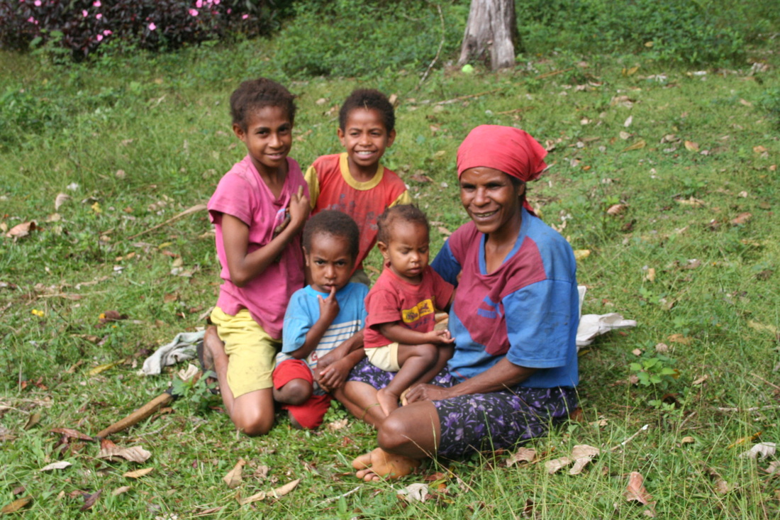 |
Wonderful PeopleThe wonderful local people you will meet in your guide team and in the villages will be a highlight of your expedition. They are such generous, warm, beautiful, friendly and peaceful people.
|
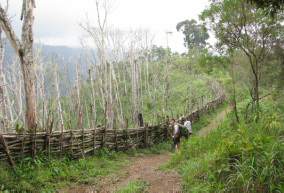 |
GardensThe villagers clear land and then create gardens to grow their crops for food for the village. These gardens are usually near villages and sometimes have pig fences constructed from logs/branches.
|
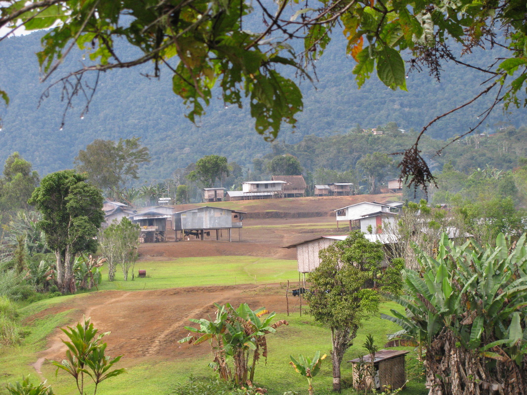 |
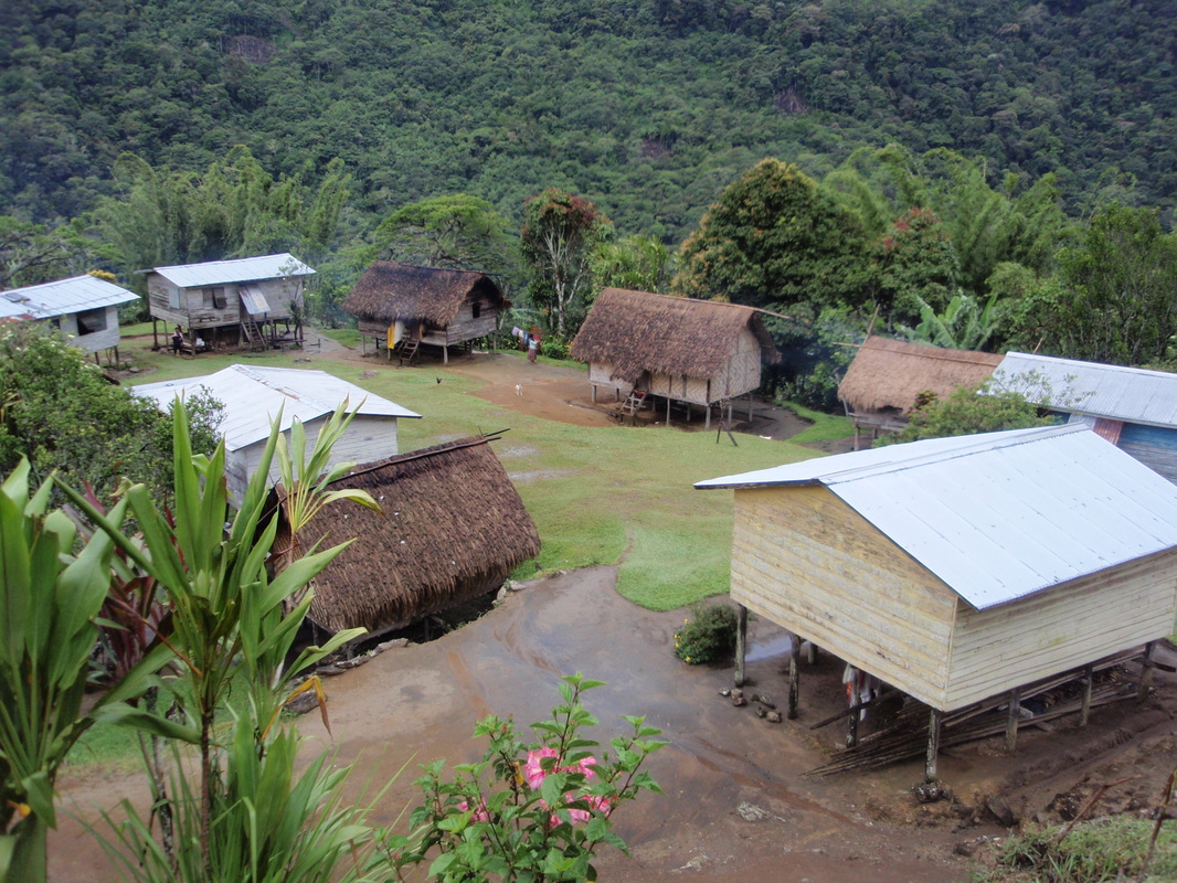
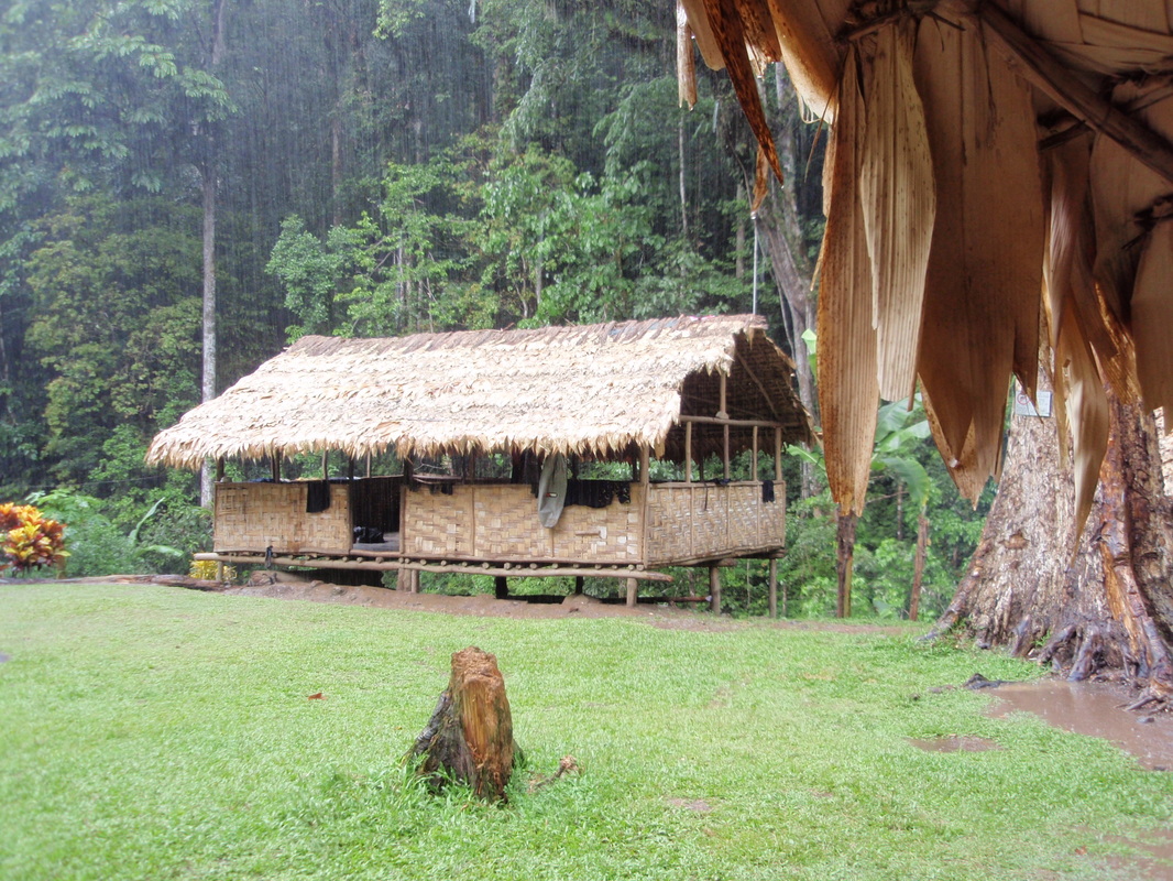
Kagi VillageHome to many of our guides and the home village for No Roads Expeditions. Kagi is a large village found roughly half way along the Track and located high up on a spur from Mt Bellamy.
|
 |
Efogi 1 and Efogi 2 VillagesTwo villages separated by the Elome Creek, 200m of elevation, 1.3km of Track. The wartime Efogi is located NW 2km from Efogi 2. Efogi 1 has an airstrip & is the larger of the two villages.
|
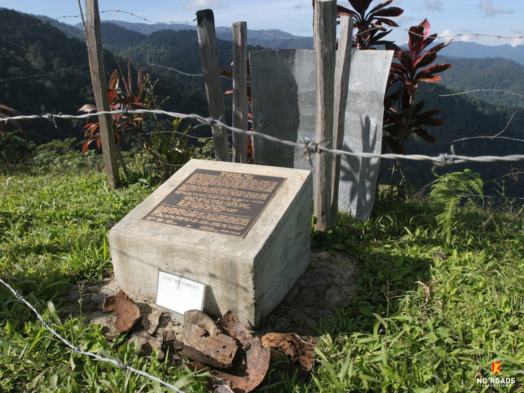 |
Brigade HillA small cleared area on a hill with a small memorial is known as Brigade Hill (or Butchers Hill). It has a story to tell and the 360 degree views are breath-taking. 62 Australians lost their lives here.
|
|
MenariA very beautiful village that has the Emuni River passing through it. It has a large airstrip, many gardens and good guest huts. It was the site of Lt Col Ralph Honner's address to the 39th Battalion.
|
 |
SwampsEven during the dryer months the land between the Maguli Range and Nauro Saddle is home to swampy wet areas with the Naoro (Brown) River snaking through at the lowest point.
|
 |
New NauroThe wartime village was at the bottom of the hill but the villagers moved mostly due to mozzies to a new location halfway up the Maguli Range is this small village. Excellent views from camp.
|
 |
Ofi CreekThis small junction of water courses is a great spot to cool down, have a swim and some food. A small number of locals live here and it is near where the Japs situated a type 94 mountain gun.
|
 |
Ioribaiwa RidgeIt is estimated that around 5,000 Japanese soldiers made it as far as this ridge but little further. At 850m it is not the highest peak but it certainly is tough.
|
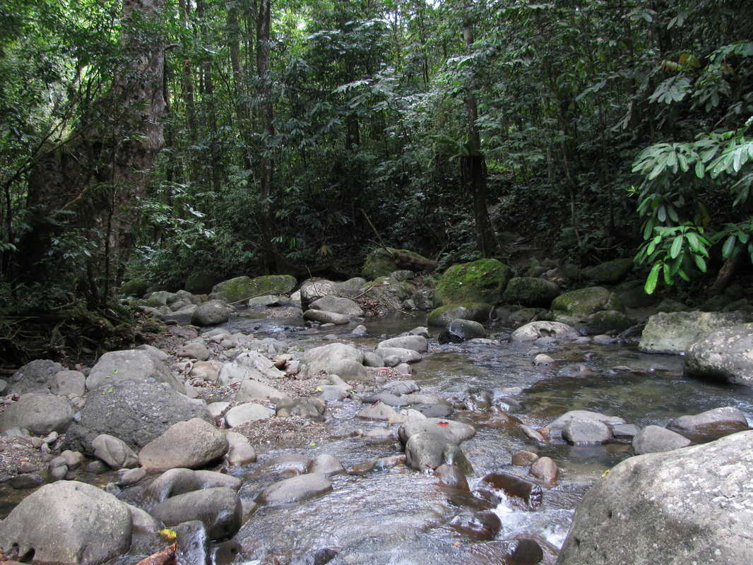 |
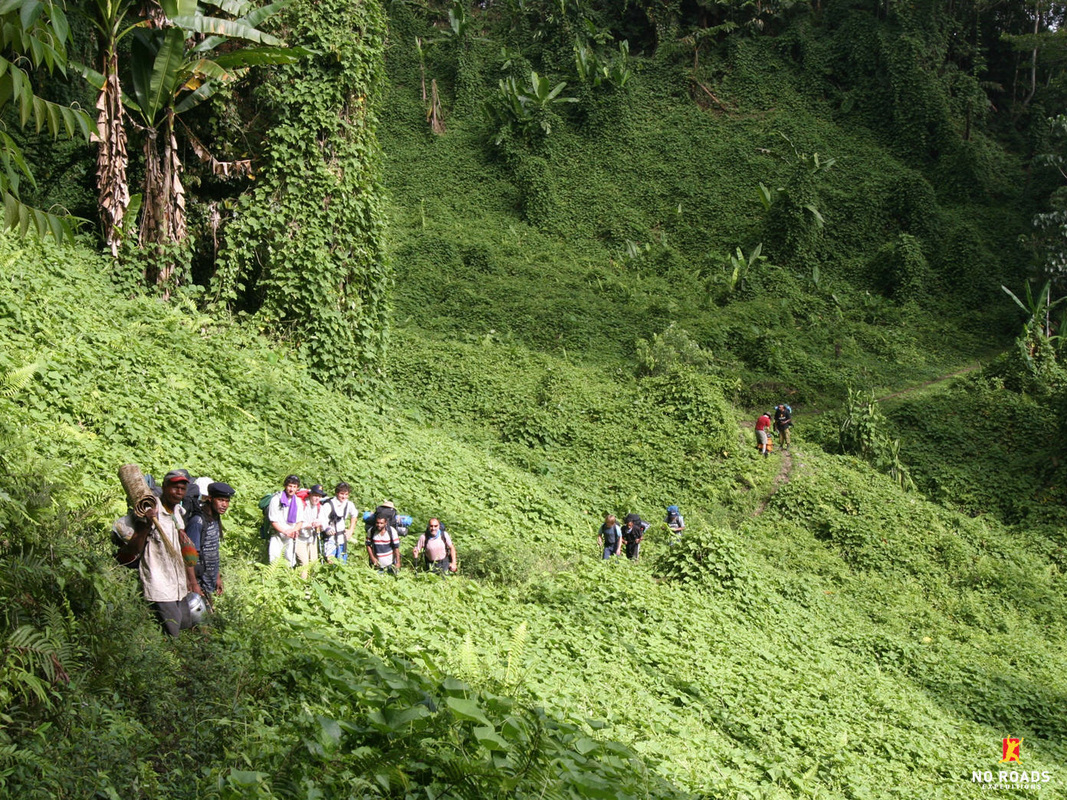
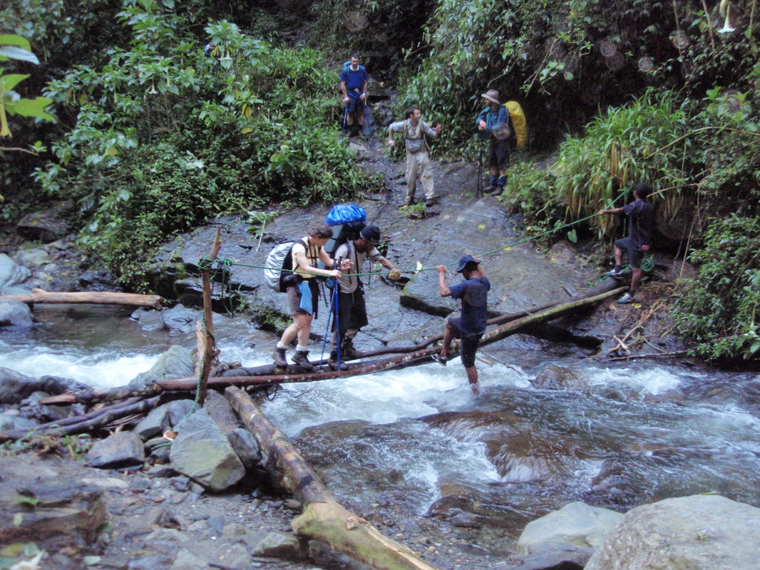
Creek CrossingsAlong the length of the Track you will cross many creeks, some a short rock hop whilst others require more care climbing over log bridges or up & down slippery banks. They are all stunning.
|
 |
Ua-Ule CreekNestled in amongst the creek is a campsite at the base of Imita Ridge. A great water hole for swimming and the site of a Salvation Army welfare tent during the war.
|
 |
Imita RidgeJust one of the many ridge lines, but a significant one for the soldiers during World War II. For trekkers it is one of the more challenging hills with some seriously steep terrain.
|
 |
Goldie RiverThis river can be a raging torrent or a knee deep river. The Goldie River is the last significant water crossing when trekking from Kokoda to Owers Corner. Most stop for a swim and relax.
|
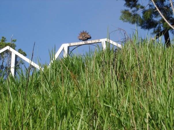 |
Owers' CornerEither the start or end of your trek. A fitting memorial to the Kokoda Track and those who fought on it. Heading up the last hill to this memorial is something you will remember!
|
 |
Owen Stanley RangesThe spectacular, rugged and relentless Owen Stanley Ranges present a formidable obstacle to anyone attempting to pass over them. The jungle is beautiful and so are the local people.
|
 |
McDonalds CornerAround 9km from Owers' Corner heading back to Port Moresby is a metal statue signifying 'McDonalds Corner'. It used to be a road-head & a point where troops passed into the jungle.
|
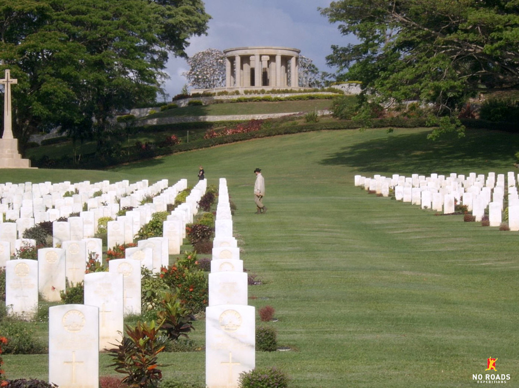 |
Bomana CemeteryThis cemetery is sure to bring a tear to the eye. The resting ground of many soldiers, a beautiful location. Trekkers usually spend time quietly remembering and reflecting on their journey.
|