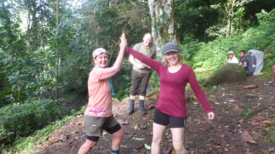
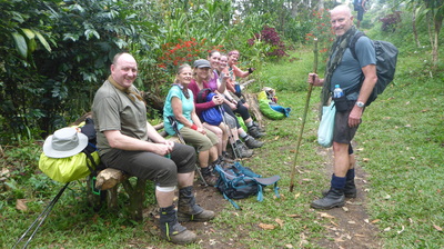
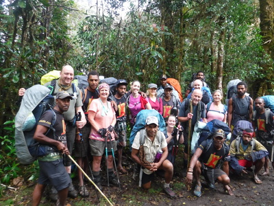
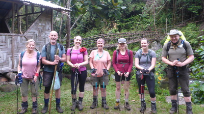
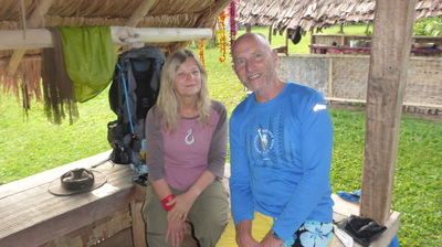
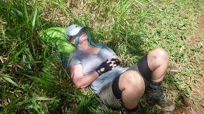
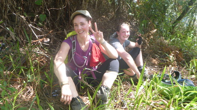
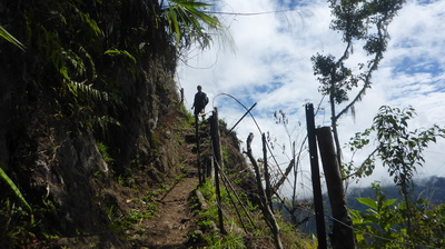
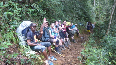
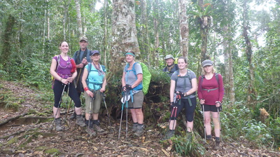
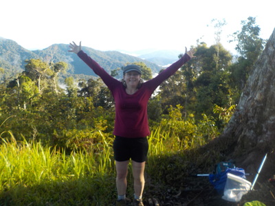
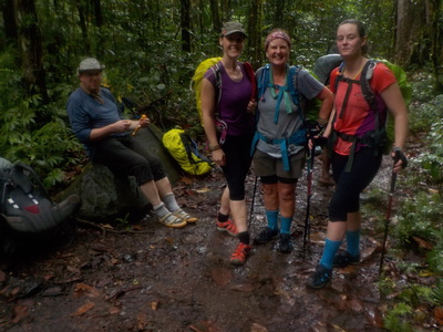
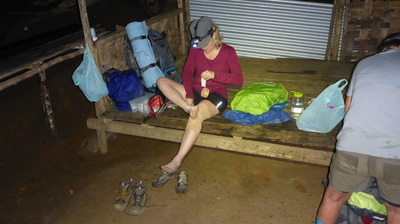
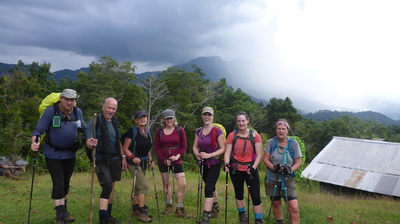
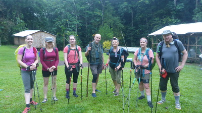
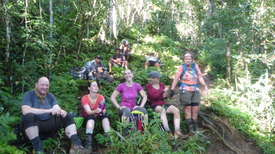
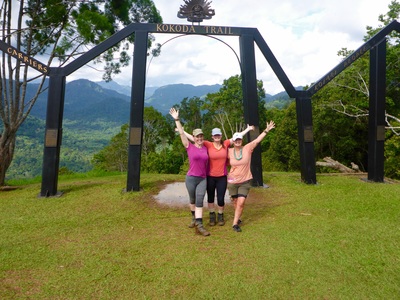
Our Team of Trekkers
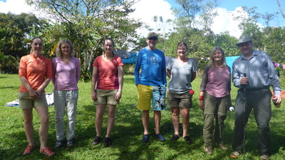
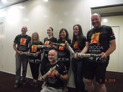
Our Expedition Team
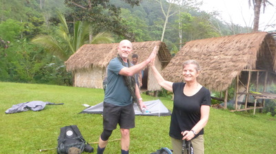
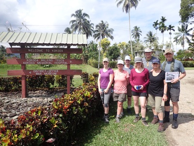
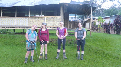
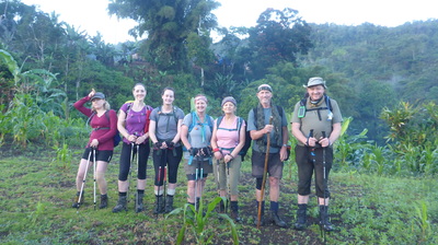
Every trek over the Kokoda Track is an exciting adventure for me because it is an exciting adventure for the trekkers. With a great mix of people from Victoria and Antony from the UK, we set off to Popondetta airport (Girwa) the first leg of our expedition, all excited and nervous about what lay ahead.
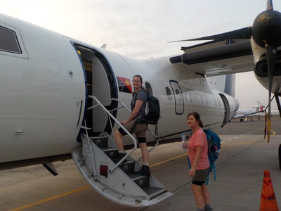
Our flight at 7:00am was short at just 30 minutes but it did provide a great opportunity to view the track for the first time. The villages were just speks in the jungle below and the Myola lakes stood out amongst the green hills below as we flew over the Owen Stanley Range, noting that the return journey was to be a grueling nine days of trekking!!
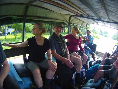
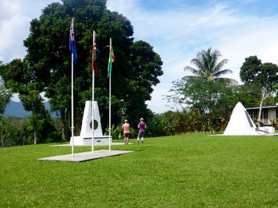
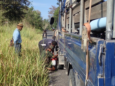
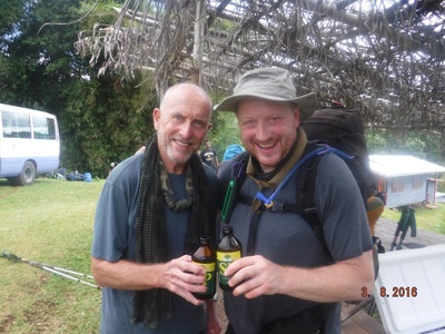
As we unloaded our 24 backpacks from the plane in the sun we promptly loaded them into our new transport called a PMV (private motor vehicle) for a three hour drive via a short stop over in Popondetta (water, snacks and visit to a memorial) and then through to Kokoda passing over the Kumusi River arriving around noon for lunch. In true PNG style the PMV had its 2nd flat tyre in 20 mins so we swapped to a new vehicle . The ride was less bumpy than I remember from previous expeditions due to new padded seating, luxury. We also saw the new Kumusi River bridge nearing completion replacing the temporary bridge as the old one was washed away several years ago by flood waters due to a cyclone - not Allied aircraft like during WWII !
On bumpy and dusty journey to Kokoda we played a great game called "rejection" where each person took it in turns to wave like mad at the kids and people along the side of the road and if they didn't wave back you lost, "Rejected!!". Amazingly, only on two occasions during the entire three hours we were rejected, a testiment to how friendly PNG people are even whilst chocking on our PMV dust cloud!
Arriving at Kokoda hit home with the blazing baking sun, humidity, ominous mountain range in the distance, porters busy unpacking and packing all their backpacks for trekking, and the impact of the tour of the Kokoda plataeu, the museum and surrounding areas all reminding us that the months of training, research and preparation are about to be tested as the expedition begins on ground, on location, for real now.
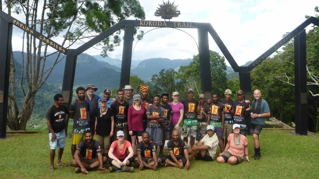
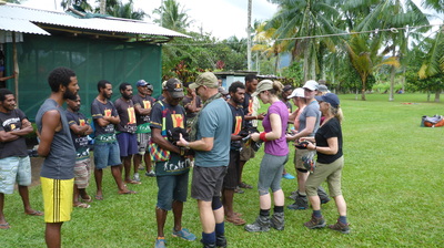
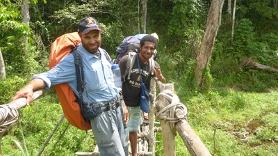
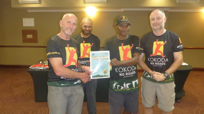
We met our porter team who had in the previous day or so run to Kokoda from Kagi to meet us (that is about 4 days trekking for us) and we paired up with personal porters and met everyone including our local guide Rob who I had trekked with several times before, and Steve our Lead Porter, a quiet but hard working fellow. All up we had a expedition team of 27 people.
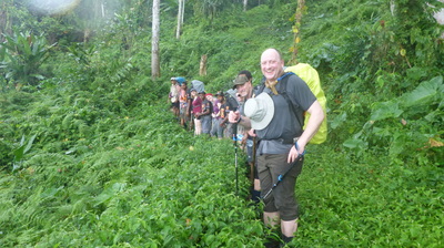
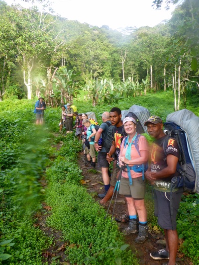
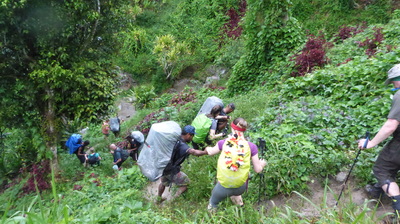
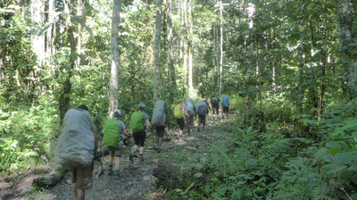
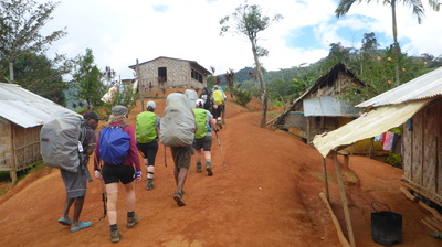
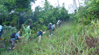
Over the next three hours our centipede of people moved quietly through the palms along a wider track past the villages of Kovelo and Hoi until it became a small thin single person climb up to Deniki our first campsite for the expedition, about 450m above the Yodda Valley and 7.6km from Kokoda. In true Kokoda style it rained during our first two hours of walking only stopping to allow us to setup camp easily with a misty valley below. A big day starting with a 4:30am breaky and travel through to arriving in camp around 5:15 pm.
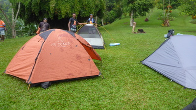
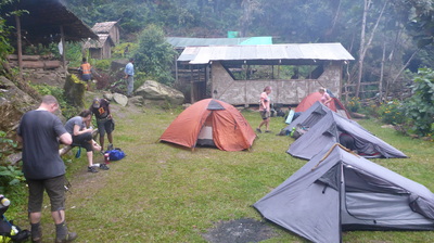
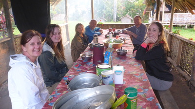
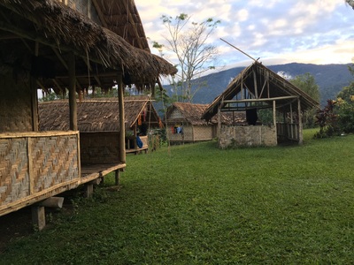
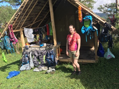
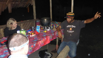
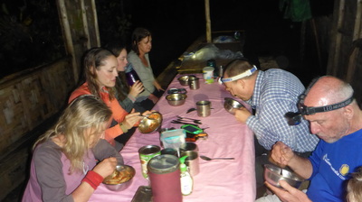
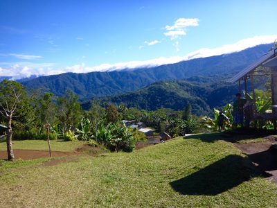
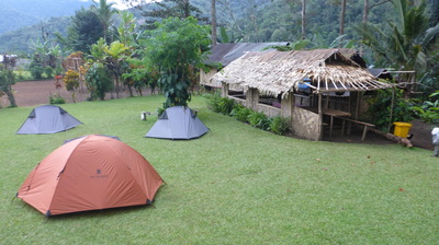
Deniki is a small location with a grassed area allowing for tents and a long meals hut with views of the valley below, and the toilets! Dinner and an early night for most at 7:30pm after a talk by Rob our local guide on various aspects of PNG life. The jungle sounds (bugs, birds, wind, critters) keep you aware you are not at home anymore, especially the snoring of fellow trekkers, LOL.
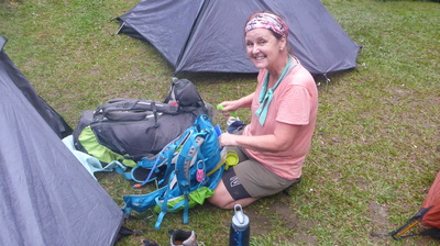
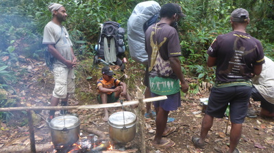
Camp life begins at 5:00am with our porters up and about preparing breakfast and campfires to cook on. The sounds of sore bodies, sleeping bag zippers, and gear being packed up become the norm over the coming days with headlamps creating amusing dancing patterns inside the tents like a swarm of fire-flies. Typically a morning on the Kokoda Track involved an early rise at 5:00am, out of the tent by 6:00am for breaky, gear packing and a loo stop in the dark, ahead of our departure typically at first light around 6:30am each day.
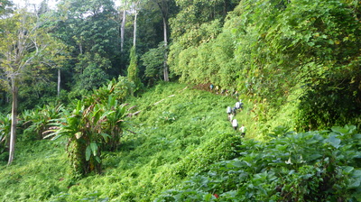
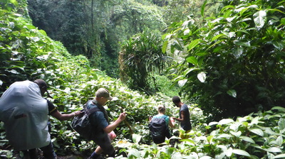
Today the track was spectacular in sunny humid conditions walking through lush rainforest punctuated with open areas caused by tree falls now filled with chocko vines creating vistas within the jungle that you have to come and see for yourself. Our journey today was mainly uphill for the morning crossing streams as we moved into the Eora Valley until we reached the village of New Isurava. This village moved post war from the battle site location which was our lunch destination only an hour away arriving at 12:30pm.
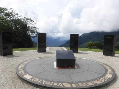
Arriving at the Isurava Memorial battlesite was a relief for many with the first half of the day a challenging introduction to what Kokoda is like. Feeling a little ill, sore spots on your body starting to annoy, being wet all over, and the significance of the history at locations like the Isurava Memorial telling. At both Isurava and Cons Rock we paid our respects to those that fought bravely, I shared stories and explainations of the battles that occured through this area.
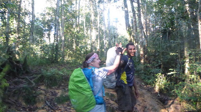
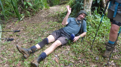
Our porters and the KTA Ranger had advised of an alternate route around several landslides just before the village of Alola. This alternate route was to take us off the track and up above the landslip through the jungle. As the afternoon rains began again, we struggled up and across a slope for 30 minutes to find that we couldn't continue that way due to a cliff! So back down we went to the Kokoda Track itself again back over the slippery terrain we had just climbed up. Kerri and her personal porter had a tumble which made the remaining trip to Alola painful for Kerrie with back and neck pain. This injury dogged Kerri for the rest of the trip, but she kept going!
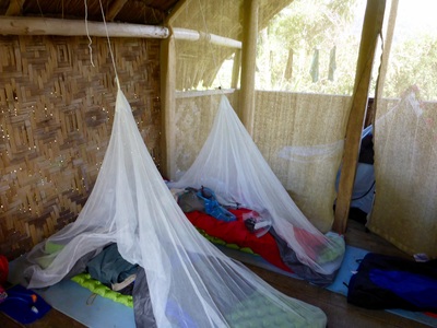
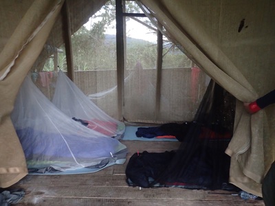
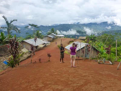
The landslide was indeed very dangerous so I organised to send people across one at a time with a porter to minimise distirbance to the soil. Once across we negotiated up through fallen trees and across another couple of smaller landslides until we reached Alola, a beautiful small village perched on the side of the mountain overlooking the valley below. That night we had pizza and a few slept in the guest house which had turned into a drying hut. In bed on day two by 7:30pm with the sound of rain, roosters and snoring echoing across the valley.
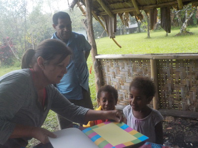
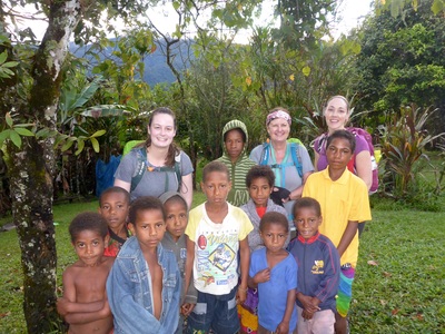
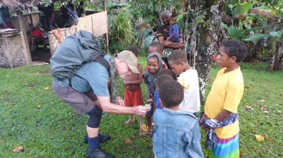
This morning we woke to a wonderful sunny morning with the rooster crowing, chickens with chicks wandering through the camp, local kids playing keen to see us as we packed for our trek today. With our jungle legs today we set off down through the village down into the valley to traverse along "Kokoda horizontal" style (relatively flat but still has many ups and downs) through to meet the Eora Creek. Just before descending to the creek level we visited the Eora Creek Japanese mountain gun site where I explained how the Japanese held up the Australians using mountain guns, mortars and heavy machine guns during the Australian advance back to Kokoda. Many relics could be seen including helmets, grenades and shoes.
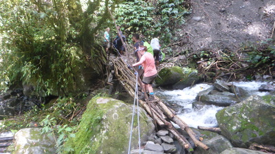
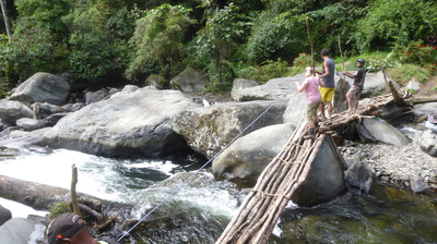
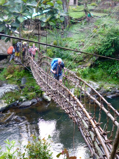
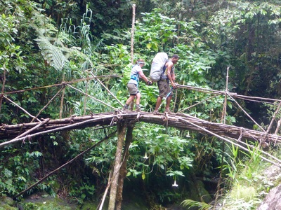
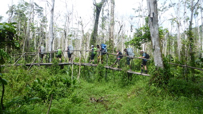
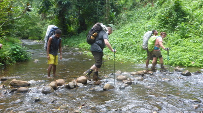
In the valley we crossed the Eora Creek on thin temporary log bridges just next to where a new vine bridge was being built. After a longer rest to regroup, we slogged up and over two sections of the valley following the path of the Eora Creek. These hills were nasty and kept going for hours followed by an equally long descent on each side. Lunch was in a bush setting and our arrival at Dump #1 campsite was around 5:30pm due to the greater distance and terrain we covered today.
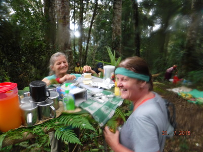
Our camp was deep in the valley below Mt. Bellamy and a much cooler with drizzle and fog enveloping the huts later in the evening. Antony braved the freezing mountain stream for a wash whilst Dan and Liz tried the hot shower. The huts at this location were stradling a creek right next to the very noisy Eora Creek (really big creek) and they both provided a soothing background noise to doze off to sleep around 8:00pm.
|
|
|
Our challenge today was to climb up and over the side of Mt. Bellamy, the highest section of the track. Then we would travese the plateau and visit the Myola Lakes, then climb across and down to the village of Kagi our next campsite and rest spot for day five whilst we observe Sabbath and rest with the local community.
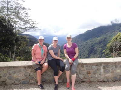
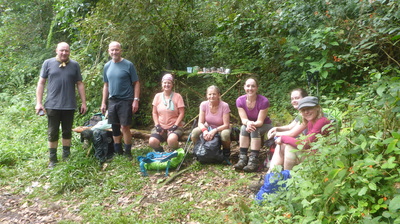
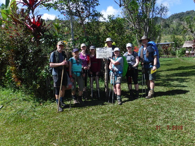
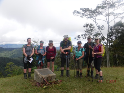
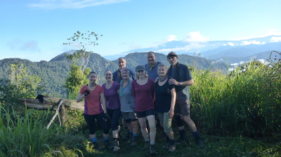
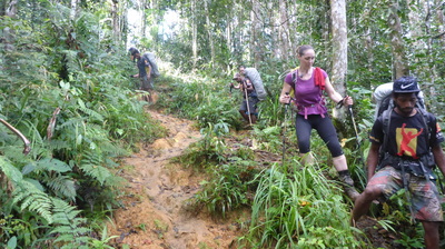
In the overcast and slightly foggy conditions we set off up to climb the side of Mt. Bellamy, a challenge first thing in the morning. It was muddy and slippery but not as difficult as first thought given our "jungle legs" had kicked in now. At around 8:00am we reached 2190m, the highest spot along the Kokoda Track and took a few group photos to celebrate. Its along this section of the Track that the soldiers during WWII were told by their commanding officers to "hold the Kokoda Gap" with machine guns. As everyone realised this is just stupid as the gap is indeed many kilometers wide.
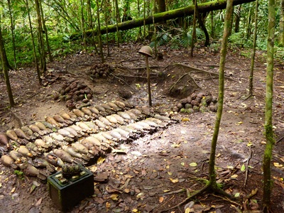
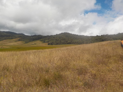
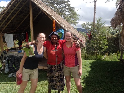
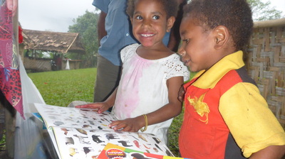
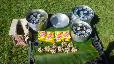
During the day we visited the Myola Lakes and checked out the grassy area where the biscuit bombers dropped supplies, found a number of ammunition dumps and displays, and had lunch once again on the track on the downhill section to Kagi. It rained heavily during the afternoon and as we arrived into camp. Under heavy rain and protected by umbrellas local women and children greeted us with song and the presentation of flower lays given to us by young kids. A wonderful welcome to the home village of our porters and No Roads called Kagi.
Camp tonight was on the highest section of Kagi with great views. We all stayed in guest houses using every inch of the huts to begin drying out our gear, even though it was still raining. The shower was popular and the better toilets were appreciated. Tonight we stayed up later before bed around 9:30pm after a yummy dinner and local fruit.
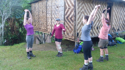
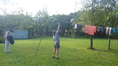
On our rest day we respected the local religious custom of observing Sabbath, no work in the community today. We all joined one of the morning church services with many of our porters and their families, spent time in camp simply resting, talking, playing cards (including Snorta which was very funny) and drying clothes. The rain today prevented too many excursions into Kagi which was a shame as it was very heavy at times. Having some time to rest was great though.
Anyone who had seen a profile map of the Kokoda Track saw the "steep descent" from Kagi and began to dread it. So after our day of rest and relaxation we set off early in the morning walking down past the Kagi airfield, an airfield that forces planes to lane uphill! The track then ventured off into the jungle and down, down, down to a fast flowing creek after about an hour of tricky slippery careful hiking down. Very spectacular but a little scary with lush jungle.
After crossing the creek on a log bridge under the watchful eyes and helpful support from our porters, the next hour or so was a hard slog uphill beginning with a very steep vertical section followed by a walk in the open through tall kuni grass to a village called Efogi 2. Efogi 2 sits up high like Kagi and looks down to Efogi 1 our next destination. After a short rest, some nibbles and a look at the Japanese memorial cairn we set off down to Efogi 2 along a clay track in the open again to another log crossing, and then a short uphill section into the village for a rest.
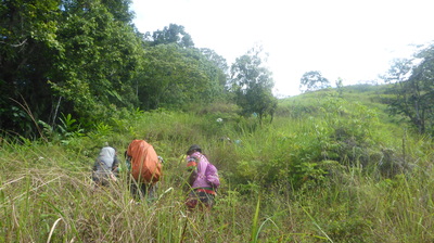
The village of Efogi is big when compared with the others along the track both in population and size. As we walked through to the other side many of the locals waved and kids came out to see us. As the Efogi airstrip came into view we could see the next objective, the thin track winding its way up around to Mission Ridge some distance away. To get to that part of the track we first had to descend into a gorge and cross a small creek, and as the day heated up with bright sunshine, we set off in the open hiking up a staircase and onto switchbacks until we found some shade on a knoll.
Brigade Hill was not far now and after another 45 mins of trekking we reached our lunchtime objective, and a very significant battle history location. An explanation of the battles and stories from Mission Ridge, to Nishimuras tree hideout and then Brigade Hill itself preceeded lunch which was to be held 300m down further past Brigade Hill due to a small landowner dispute. This was where Kerri and Linda struggled to see above the makeshift table for lunch due to its height a belly laugh for all of us.
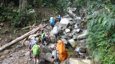
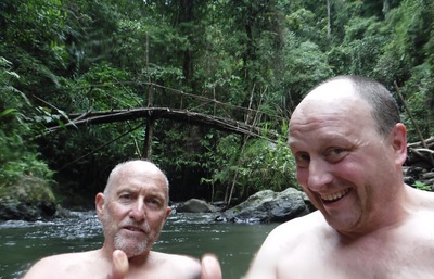
The long descent from Brigade Hill went for hours (a long tiring ground watching trip hazard hike) which finally ended with a very steep section down into the creek below. This is where a plaque for Damien Parer can be found and the spot where Dan and Antony has a relaxing swim, just before the rain came and a the creek turned nasty with debris and a noticeable rise in water height - out just in time! From this creek a number of switchbacks and a walk up and out of the jungle along the airfield brought us to Menari.
A mix of tents and the guest house provided shelter tonight from the very heavy rain that began around dinner time. Showered and full from a great dinner, those in tents crept in trying not to get too wet whilst the folks in the guest house settled in for a night with the rain pattering down on the tin roof. Our porters were amazing out in the rain digging drains around the tents and look after us whilst we rested. Lights out and sleeping by 8:00pm tonight.
Today, trekking day 7 is a short day. With an ETA at camp of around 1:00pm everyone was a little more excited about more rest in the afternoon, a chance to dry things out. I didn't mention the afternoon thunderstorms are very common at Nauro, LOL. So the trek today began with a visit to the Menari parade ground to stand in the same location where a bunch of ragged bloody heros stood of the 39th receiving thanks from their commanding officer.
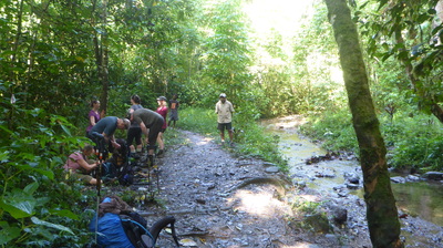
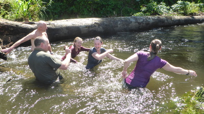
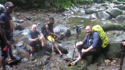
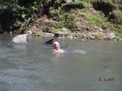
Up and out of Menari, across and up and over the ridge, then down into the valley below to cross several water crossings including a river, then through the swamp and a climb up to the village of Naruo makes it all sound simple. Actually, today had some hard climbs and a very steep downhill section from the ridge into the swamps below. A fun swim in the Brown River and rest just before we hiked up to Nauro preceded a relaxing afternoon in Nauro, playing cards, having showers, checking out the village, drying clothes all just before the rains appeared once more at 3pm.
Up and out of Menari, across and up and over the ridge, then down into the valley below to cross several water crossings including a river, then through the swamp and a climb up to the village of Naruo makes it all sound simple. Actually, today had some hard climbs and a very steep downhill section from the ridge into the swamps below. A fun swim in the Brown River and rest just before we hiked up to Nauro preceded a relaxing afternoon in Nauro, playing cards, having showers, checking out the village, drying clothes all just before the rains appeared once more at 3pm.
|
|
|
Trek day eight is one of the harder days with a big distance to cover and many hills. Our destination today is next to a creek at a campsite called Va-Ule Creek. This would take us all day as we had to climb up and over the Maguli Range, down into Ofi Creek and then up to Ioribaiwa Ridge, and then down into the valley below to follow the Va-Ule Creek to camp. All up today would be around 15 kms.
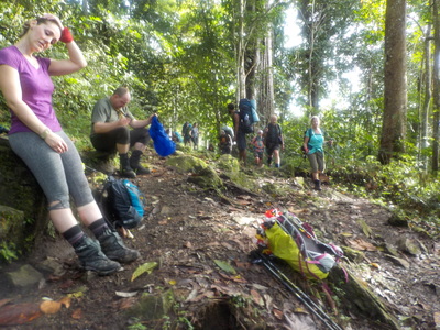
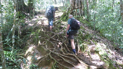
Hiking up to the top of the Maguli Range finished our false peaks climb through a misty overcast morning. The trekking was a little harder now with the ground literally covered in tree roots or very slippery mud. Some of the expedition team are showing signs of fatigue with is typical after eight days of trekking, but made worse carrying injuries and extreme fatigue. With amazing determination and longer rest breaks they kept going, real troopers.
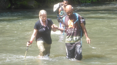
We had our lunch today at Ofi Creek and a long rest for everyone. Dan and Ant had another swim in the creek walking back up to the lunch huts in nothing but their jocks! With heavy rain in the afternoon the 11 creek crossings through to camp were a challenge for the slower members of the group, struggling with fatigue. We all made it to camp safely but pretty exhausted by 5:30 pm as the rains continued through to around 10pm. Early night tonight after dinner but with team spirits high knowing that we had one day left to reach our objective.
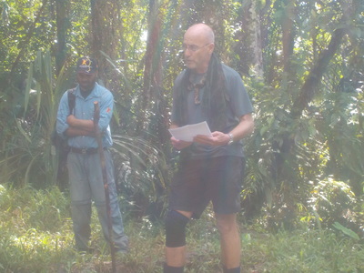
Our last trekking day began early with everyone up and ready in record time before the porter team were ready! Leaving camp after the traditional No Roads chant at daybreak we walked through the remaining section of the Va-Ule Creek until we reached the base of Imita Ridge, our last remaining hill of note to climb. This climb is always a challenge with fatigue and a long ascent energy draining. As the entire team reached the peak of Imita Ridge the front runners cheered. Dan chose this peak to praise the porter team and their grandparents as Fuzzy Wuzzys reciting a wonderful poem dedicated to them.
The terrain down to the Goldie River, our last major obstacle included heaps of sticky mud, bees, jungle and a few small water crossings before we waded through the river to dry off on the other side. This river was our signal that we had almost made it. Only one last climb up to Owers' Corner and what a bueaty that was. Switchbacks all the way to the top in the open sun for about 400m!
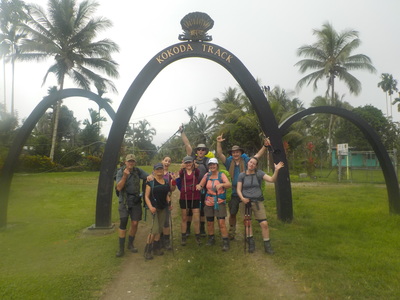
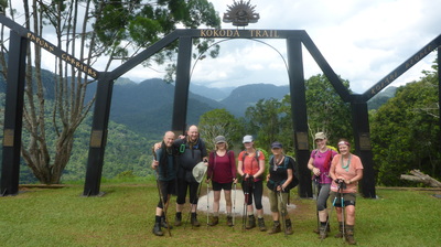
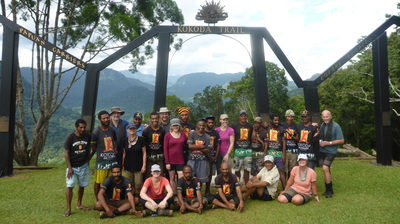
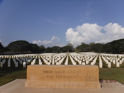
Crossing through the famous metal arches shaped to the profile of the Owen Stanley Range had personal significance to each and every one of us, emotions running high and a level of relief knowing that the hardest part of the rest of the day will be sitting in the bus for a few hours. Following a photo session that would put the paparazzi to shame, a yummy filling lunch thanks to Jack and the team, and a drive back down to the Bomana Cemetery finished our trek with a sobering reminder about how terrible war is, the tremendous loss of life and terrible sacrifices everyone made. The words at Isurava say it all, Courage, Sacrifice, Mateship and Endurance.
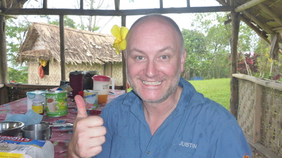
Smiles are my measure of success and there were lots of them. Our porters smiled, Rob our local guide was smiling, and my trekkers were smiling. I really enjoyed this expedition and together we forged new friendships and learn't a lot. Many thanks to my friends in PNG both in Port Moresby and on the Kokoda Track, the No Roads team in Australia, and our thanks to all those men and women who protected us during World War II.
Justin Kibell
Expedition Guide
No Roads Expeditions
[email protected]
