A rugged, single-file jungle path over thirteen ranges, and the setting for one of Australia's most important battles of World War II.
The Kokoda Track (also called the Kokoda Trail) links the northern and southern coasts of Papua New Guinea through the Owen Stanley Range. Walking it is a physical challenge, a history lesson and a cultural encounter in one.
"Kokoda" is an Orokaiva word meaning "place of skulls". The Koiari and Orokaiva people live in the villages along the Track, and more than 800 languages are spoken across PNG, with Pidgin and Motu the most common.
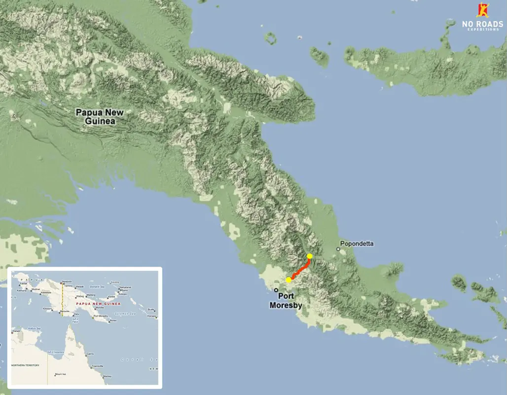
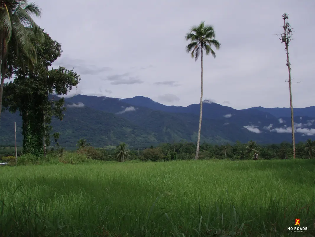
The Kokoda Track sits in the Owen Stanley Range of Papua New Guinea, which lies north of Australia and east of Indonesia. It runs between Owers' Corner, a few hours' drive from Port Moresby, and Kokoda Station on the northern side of the range. Treks can be walked in either direction.
On satellite maps the Track appears as a thin path and only shows when zoomed right in; it is a footpath, not a road. The white patches in the satellite photos are cloud.

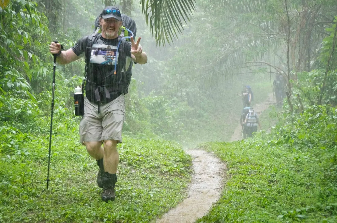
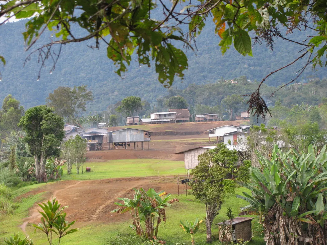
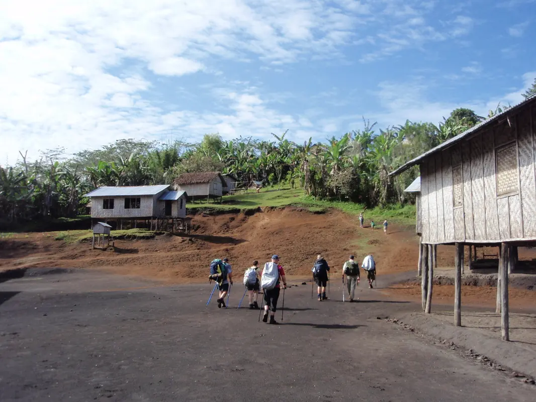
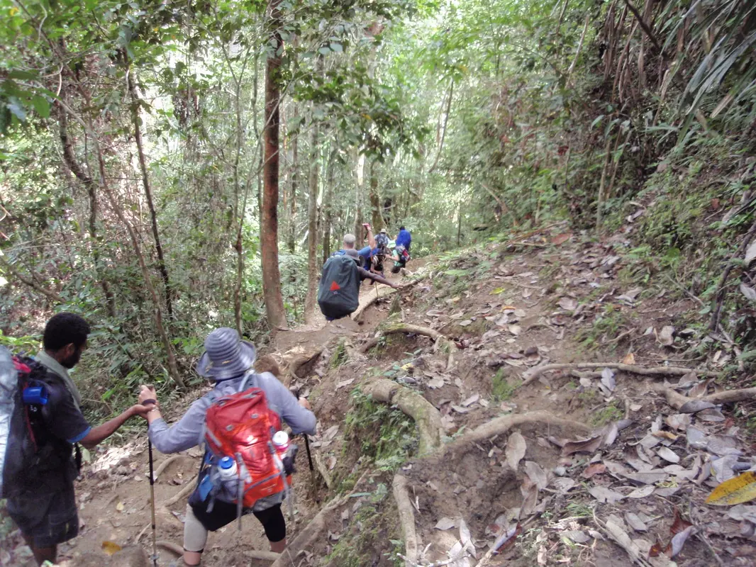
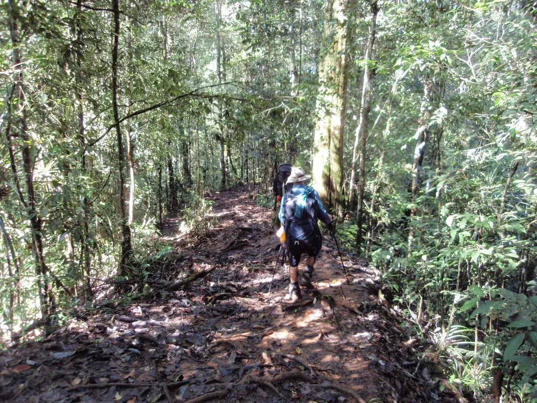
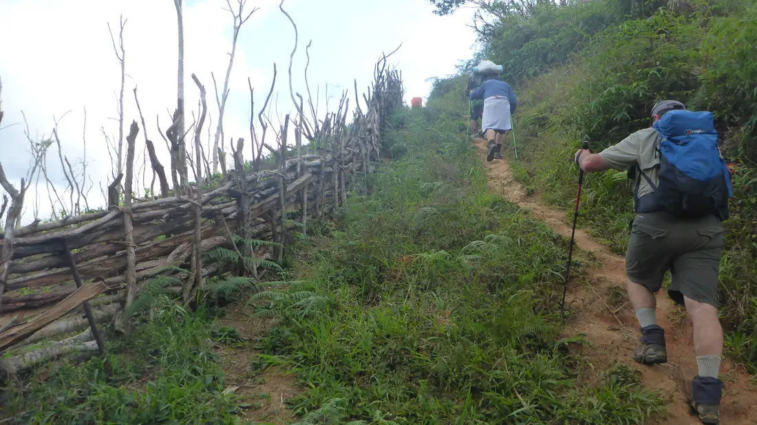
The Track is a single-file tropical jungle path connecting villages over the Owen Stanley Range. The vegetation changes along the way and so does the surface, but it is always narrow and always demands concentration to avoid slips, trips and falls.
Expect heat and high humidity (typically 80-95%), with day temperatures of about 24-32°C and cooler nights up high. PNG's rainfall is heavy and monsoonal, so plan for rain and mud at any time of year. Tropical downpours are part of the adventure: you just keep walking.
Your guides point out significant locations and explain what happened there in 1942. Read up on the history beforehand and each site carries far more weight. Occasionally a site can't be visited because of local conditions, which is rare given our relationships with the communities along the Track.

Memorials, the war museum and the cigar-shaped battlefield where the Australians defended Kokoda.

A wartime village overlooking the valley, reached by a steep final 45 minutes.

Opened in August 2002 to mark 60 years since the ferocious four-day battle fought here.

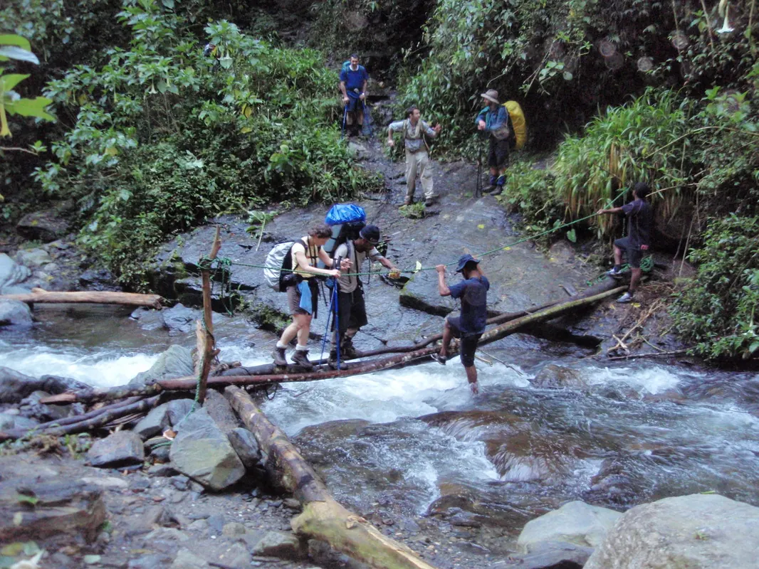
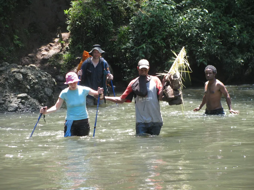
Trekkers cross the creek many times where bloody battles were fought, and visit a Japanese position with commanding views.

Named for Captain Sam Templeton. Above it, Mt Bellamy is the Track's highest point and home of the moss forest.

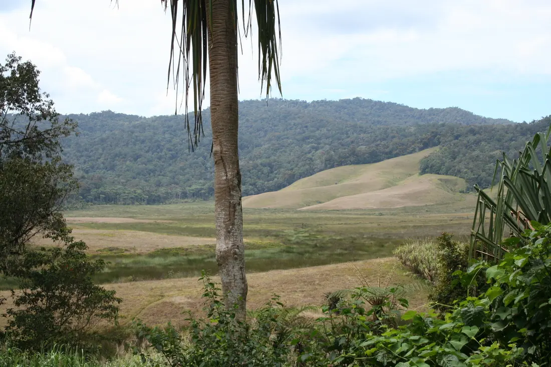
Old volcanic craters that were the only open space suitable for wartime air supply drops.

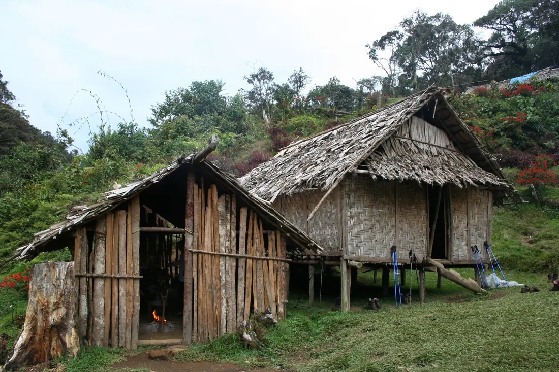
A large village high on a spur, home to many of our guides and the home village for No Roads Expeditions.

Two villages separated by Elome Creek, with an airstrip at Efogi 1 and the wartime site nearby.

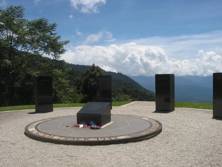
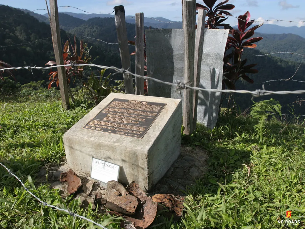
A small cleared hilltop with a memorial and 360-degree views. 62 Australians lost their lives here.

A beautiful village on the Emuni River with a large airstrip and gardens, where Lt Col Ralph Honner addressed the 39th Battalion.

Around 5,000 Japanese soldiers are estimated to have reached this ridge, and little further. Tough going at 850 m.

A significant ridge for the soldiers and one of the steepest climbs for trekkers.

The last significant crossing: a raging torrent or knee-deep. Most trekkers stop for a swim.

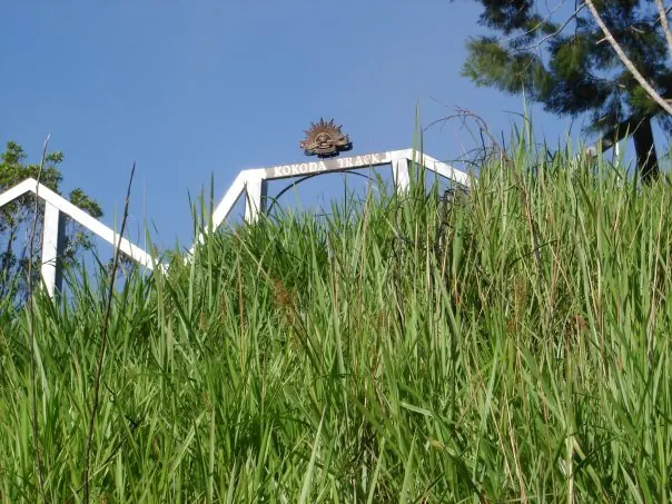
The start or end of your trek, with a fitting memorial. The final hill is something you will remember.

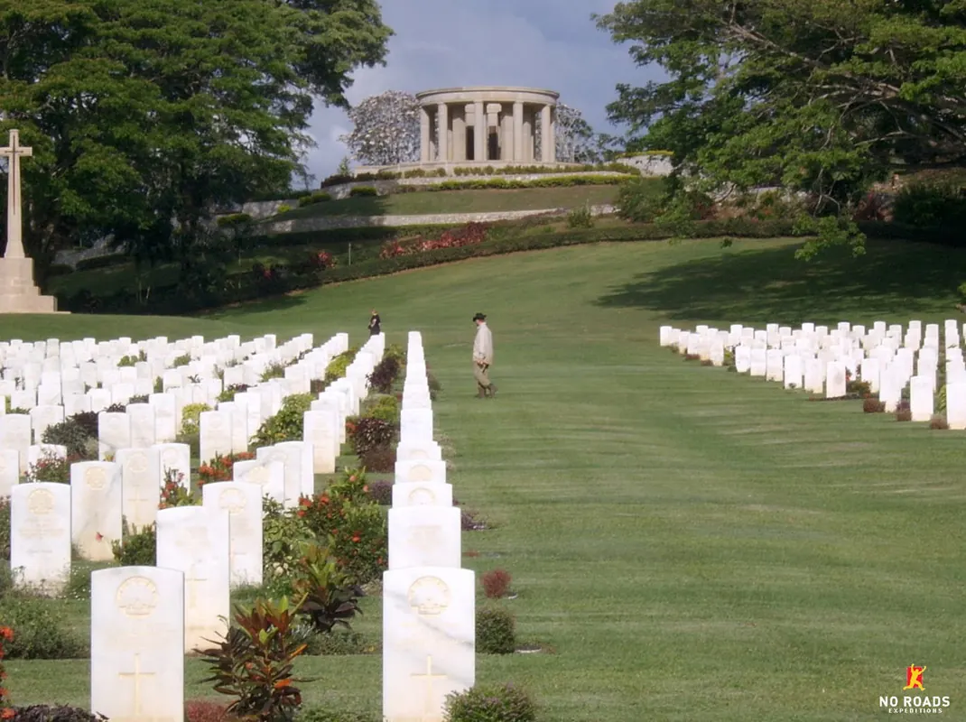
The resting place of many soldiers in a beautiful setting. Trekkers usually spend time quietly reflecting.
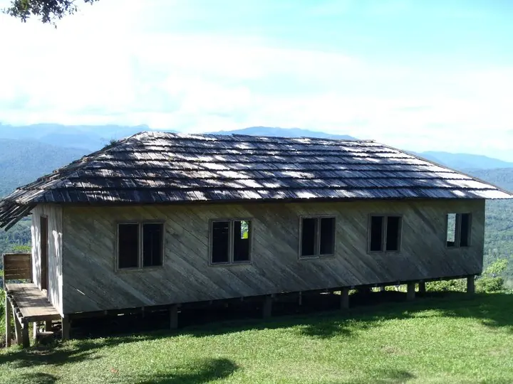
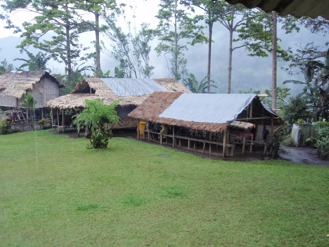
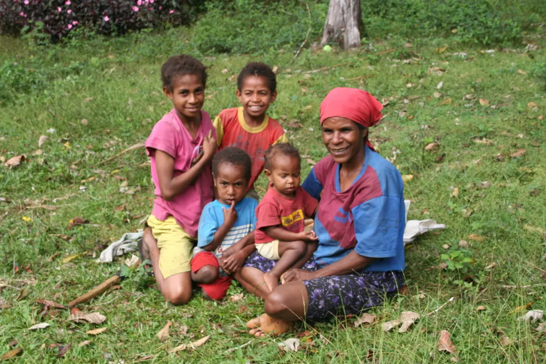
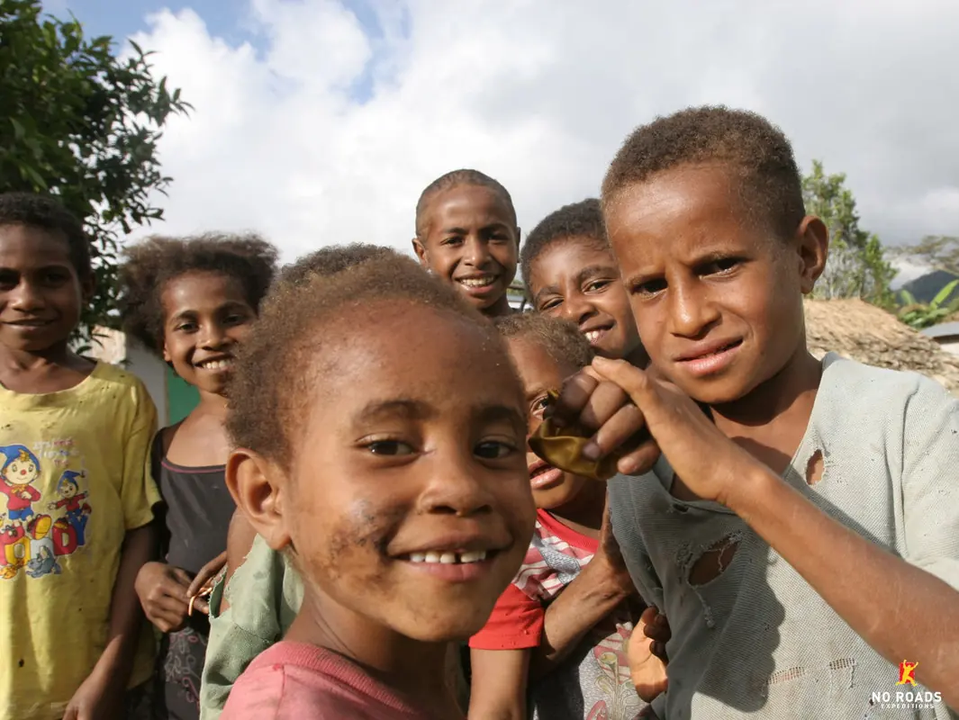
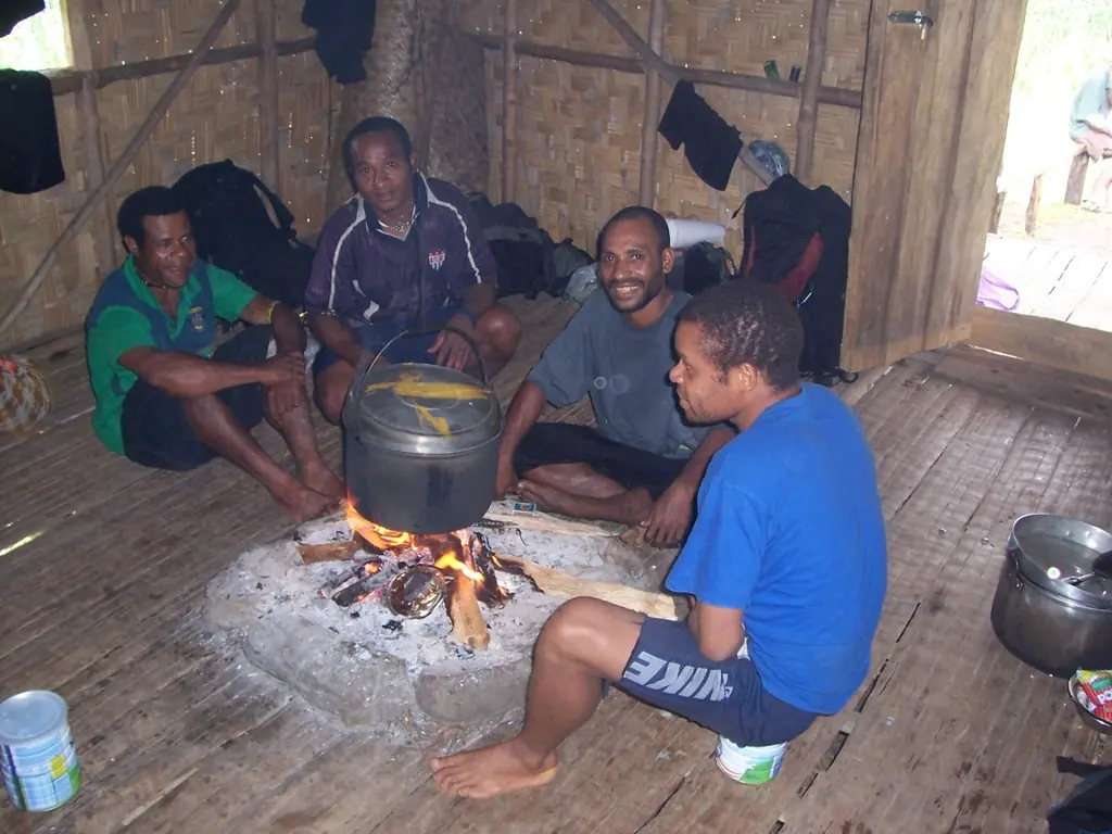
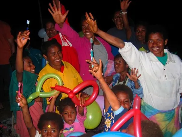
The Koiari and Orokaiva people who live in the remote villages along the Track are predominantly subsistence farmers who practise the Seventh Day Adventist faith. Women tend the food gardens, raise children and attend church; men are often engaged in portering and guiding. Children play footy on the weekends with more enthusiasm than the most avid State of Origin fan.
Over 800 languages are spoken in PNG. Pidgin and Motu are the most common, and most of our local team also speak good English, usually as a second or third language. A few words go a long way.
Trekking fees are collected by the Kokoda Track Authority (KTA), a body of the Kokoda and Koiari local-level governments set up in 2002. The fees fund projects that improve the lives of communities along the Track and facilities for trekkers, and the KTA manages the trekking industry on the Track.
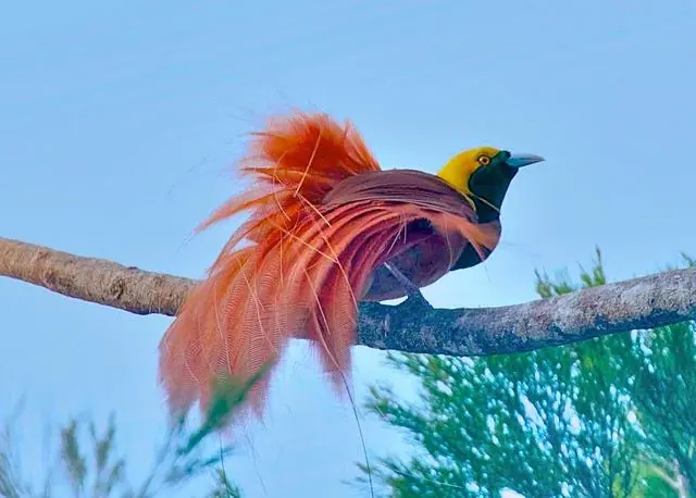
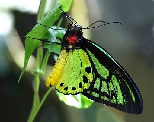
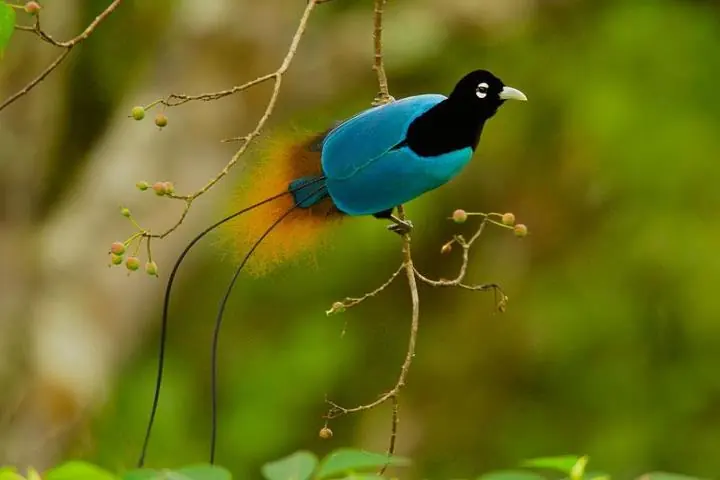
Australia and New Guinea were once joined in the ancient supercontinent of Gondwana, and PNG shares many plants, animals and insects with Australia. It ranks among the five most biodiverse countries on Earth, with an estimated 21,000 higher plants, 242 mammal species and 762 bird species. Of the 43 known species of Bird of Paradise, 38 live in PNG.
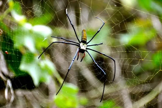
On the Track you may see wild bees, huge spider webs, wild pigs, snakes (PNG has about 100 species, only 53 venomous) and many insects. Leeches are rarely a problem. Always wear footwear, check the ground before sitting, and bring your pack inside at night: village dogs have been known to steal boots, and bush rats will find unattended snacks. In a few spots stinging plants grow beside the Track; your guides will point them out.